

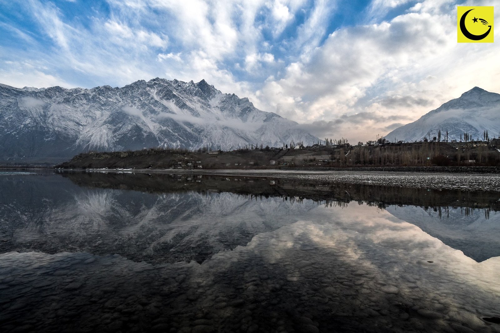
Still true today: one river does more to shape Pakistan than any other feature on its map. These Indus River facts start with a simple claim: at about 3,180 kilometres, the Indus is the longest river in Pakistan and one of the longest in Asia, flowing from a spring high in Tibet, around the foot of Nanga Parbat, down the full length of the country, and into the Arabian Sea. It gave the Indus Valley Civilisation its name, and through the old Sanskrit word Sindhu, it eventually gave India its name too.
In this fact file:
- The river at a glance
- Through the mountains: the great bend and the gorges
- Across the plains to the sea
- The river in history: seven rivers, one name
Indus River Facts at a Glance
- Length: about 3,180 km (1,980 miles), the figure used by the Himalayan Climate and Water Atlas (2015); some references round it to 3,200 km
- Source: the confluence of the Sengge Zangbo and Gar Tsangpo rivers near Mount Kailash and Lake Manasarovar in western Tibet; the traditional source is the Senge Khabab spring, the “Lion’s Mouth”
- Course: Tibet, Ladakh, Gilgit-Baltistan, Khyber Pakhtunkhwa, Punjab and Sindh
- Mouth: a large delta east of Thatta, on the Arabian Sea south of Karachi
- Basin: about 1.16 million square kilometres across four countries
- Name: from Sindhu in Sanskrit, through Persian Hindu and Greek Indos
Through the Mountains: The Great Bend and the Gorges
The young Indus flows northwest through Ladakh before entering Gilgit-Baltistan, running just south of the Karakoram range. Near Jaglot it is joined by the Gilgit River at the one point on Earth where three great mountain ranges meet: the Karakoram, the Himalaya and the Hindu Kush. Then comes the river’s most dramatic gesture. Blocked by the Nanga Parbat massif, the Indus bends sharply south and carves downward, cutting gorges between 4,500 and 5,200 metres deep, among the deepest river gorges on the planet, with the ninth-highest mountain on Earth standing over them. In its mountain course the river is fed by famous tributaries, the Shyok, the Zanskar and the Gilgit among them, all of them snowmelt torrents in summer.
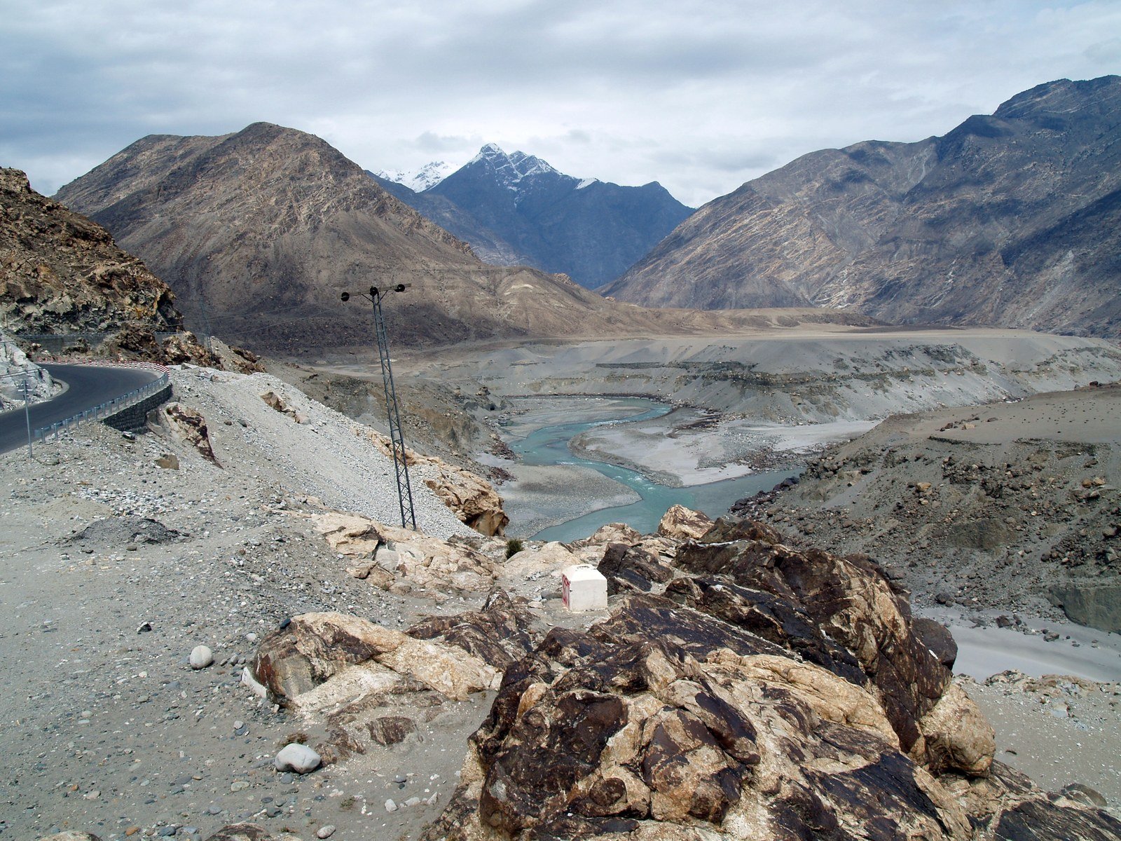
Photo: Jamalguide, via Wikimedia Commons
Across the Plains to the Sea
South of the mountains the river changes character completely. It slows, widens and begins to braid into shifting channels as it crosses Khyber Pakhtunkhwa, where the Kabul River joins it near Attock, then Punjab, where the five rivers of the province, Jhelum, Chenab, Ravi, Beas and Sutlej, reach it together through the Panjnad. Through Sindh it drifts past Jamshoro and Hyderabad on a nearly flat plain, until east of Thatta it spreads into one of the largest river deltas in the world, some 7,800 square kilometres of channels and mudflats running along about 210 kilometres of coast. The delta’s mangrove forests are among the largest found in any arid region, and the Indus is one of the very few rivers on Earth with a tidal bore, a wave that runs upstream against the current when the Arabian Sea tide comes in. What its waters make possible on the way, the farms, cities and the canal network they feed, is a story of its own, told in our companion pieces on the Indus Basin irrigation system and on how that system compares with the world’s other mega systems.
R E A D M O R E
Five of the World’s 14 Highest Mountains Stand in Pakistan
The River in History: Seven Rivers, One Name
Long before it was measured, the Indus was sacred geography. The Rigveda praises the Sapta Sindhu, the land of seven rivers, and the Zoroastrian Avesta speaks of the same country as Hapta Hindu; both phrases mean the land watered by the Indus and its great tributaries. On its banks, from about 3300 BCE, rose the Indus Valley Civilisation, whose planned cities still astonish engineers, as our fact file on Mohenjo-daro, the city Pakistan built 4,500 years ago, describes. In 326 BCE Alexander the Great reached the river and fought his last great battle on the Jhelum’s banks. Empires since have been drawn to the same water. The river’s deepest legacy may be its name: Sindhu became Hindu in Persian, Indos in Greek, and from that word came “India”, so the river that mostly flows through Pakistan named the civilisation on its banks and the country next door. Of all the Indus River facts in this file, that may be the most surprising. Few rivers anywhere carry that much history in a single name.
Sources
- Encyclopaedia Britannica: Indus River, course, length and delta
- Wikipedia: Indus River, source, tributaries and basin data (length per the Himalayan Climate and Water Atlas, 2015)
- Featured image: The Indus at Skardu under the Karakoram. Photo: imtiaz hussain, via Wikimedia Commons (CC BY-SA 4.0)
- In-body image: The Indus and Gilgit rivers meet among the mountains. Photo: Jamalguide, via Wikimedia Commons (CC BY-SA 4.0)

Umar Farooq is the founder and editor of Good News Pakistan. An engineer by profession and a writer by passion, he started the site in December 2022 to share good news from Pakistan, and has since written and edited more than 200 articles about its people, sports, science, business and world records. He believes the story of Pakistan is bigger than its headlines, and that good news, told honestly, is worth telling every day.