

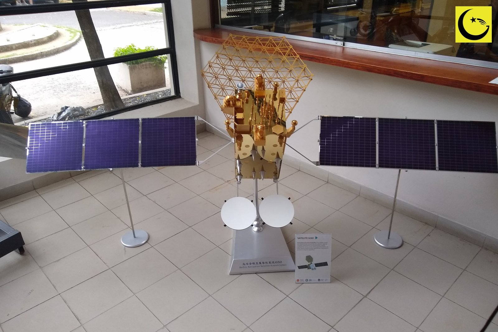
Pak-SBAS, Pakistan’s satellite-based augmentation system for precise navigation, is now being deployed in the field, with the service supporting vehicles at the Thal Desert Rally in November 2026, SUPARCO has announced. One point needs stating plainly at the start: this is not a new launch. The system is carried on the PakSat-MM1 satellite, and according to the ICAO implementation paper it was launched in May 2024 and commissioned in September 2024. The November 2026 news is different, and in some ways bigger: the service has gone live for users, and a Pakistani navigation signal is now doing real work on the ground.
How Pak-SBAS Sharpens a Satellite Fix
Ordinary satellite navigation, the kind in a phone, is accurate to a few metres on a good day. That is fine for finding a street and useless for landing an aircraft or guiding a tractor in a straight line. An augmentation system fixes the errors. Ground reference stations at known locations measure the mistakes in the signals from navigation satellites such as GPS and China’s BeiDou, a central facility works out the corrections, and a geostationary satellite broadcasts those corrections to users across a whole region. Receivers applying the corrections can fix their position far more precisely, and just as importantly, they can trust the fix, because the system also warns when the signal should not be relied on.
SUPARCO, the Space and Upper Atmosphere Research Commission, developed the system in collaboration with the Pakistan Civil Aviation Authority. Its own service description says Pak-SBAS provides correction signals for GPS and BeiDou inside and outside Pakistan, with accuracy ranging from about 2.5 metres for the public service down to 15 centimetres for authorised users. A network of 12 reference stations across the country feeds the system, and its corrections are carried across the wide footprint of PakSat-MM1, which covers Pakistan and the Arabian Sea.
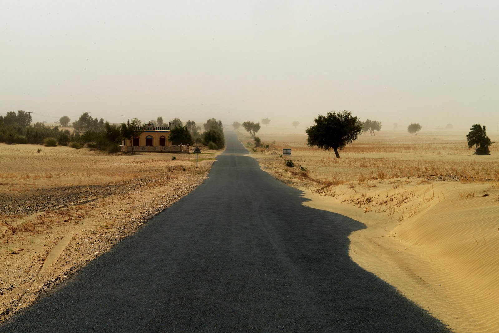
A road through the Thal desert in Punjab. Precise satellite tracking is being used at the Thal Desert Rally to follow vehicles and respond faster when one gets into trouble.
Photo: Vasiq Eqbal, CC BY-SA 4.0, via Wikimedia Commons
First Field Test: a Desert Rally
The deployment SUPARCO chose to announce is a practical one. At the Thal Desert Rally, the service is providing positioning and navigation support for competing vehicles crossing open desert, where there are no roads to follow and a breakdown or a wrong turn can leave a crew far from help. Precise live tracking lets organisers follow every vehicle, run the event more safely and find a stranded crew quickly. SUPARCO’s announcement highlighted sub-metre accuracy for the positioning, navigation and timing service now running across Pakistan. Desert motorsport has become a regular proving ground for Pakistani technology and tourism alike, as the crowds at events covered in Jhang Hosts First-Ever Desert Rally and Three-Day Cultural Festival have shown.
R E A D M O R E
IST-Led Pakistan Team Competes at International Space Games 2026 in Moscow
Where the Service Goes Next
A rally is a demonstration, not the destination. The applications SUPARCO lists for the service are the serious economy: aviation navigation, where the Civil Aviation Authority is working to meet international performance-based navigation requirements; precision agriculture, where a 15-centimetre fix lets machinery seed and spray with almost no overlap or waste; transport and logistics, where fleets can be tracked and routed accurately; and emergency response, where knowing exactly where a caller or a rescue team is saves minutes that matter. Marine users inside the PakSat-MM1 footprint are also part of the design.
A Quiet Piece of Space History
The deployment adds a working service to a space programme that has been building steadily, as SUPARCO History: Pakistan Set Up Its Space Agency in 1961, Only 14 Years After Independence traces, and it follows the launch of the country’s first home made Earth observation satellite, covered in PRSC-EO1: Pakistan’s First Home Made Earth Observation Satellite. The honest summary is this: the satellite went up in 2024, the system was commissioned that same year, and in November 2026 the service stepped out of the control room and into the desert. For the drivers at Thal, and for the farmers, pilots and rescue teams who may use it next, that is the part of the story that counts.
Sources
- Dunya News: SUPARCO launches Pakistan’s Space-Based Augmentation System (8 November 2026)
- SUPARCO: Satcom and Navigation Solutions, Pak-SBAS service description
- Shafaqna Pakistan: Pakistan launches satellite-based navigation augmentation system
- Featured image: A model of a BeiDou navigation satellite, one of the constellations whose signals Pak-SBAS corrects (BugWarp, CC BY 4.0, via Wikimedia Commons)
- In-body image: A road crossing the Thal desert in Punjab (Vasiq Eqbal, CC BY-SA 4.0, via Wikimedia Commons)

Umar Farooq is the founder and editor of Good News Pakistan. An engineer by profession and a writer by passion, he started the site in December 2022 to share good news from Pakistan, and has since written and edited more than 200 articles about its people, sports, science, business and world records. He believes the story of Pakistan is bigger than its headlines, and that good news, told honestly, is worth telling every day.